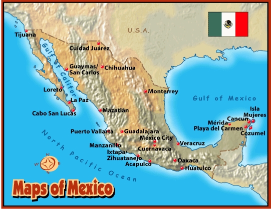
Geography
About three times the size of Texas, its area extends
about: 1,972,500 sq. km.
Land and Resources: Most of Mexico is an immense, elevated plateau flanked by mountain ranges that fall sharply to narrow coastal plains in the west and east. The prominent topographical feature of the country is the central plateau, a continuation of the plains of southwestern United States. Comprising more than half the total area of Mexico, the downward sloping plateau varies in elevation from about 1830m to 2440m (about 6000ft to 8000ft) above sea level to the south and about 1070 to 1220 m (about 3500 to 4000 ft) from the north.
Climate:
Mexico is bisected by the Tropic of Cancer; therefore, the south half is
included in the Torrid Zone. In general, climate varies with altitude. The
tierra caliente
Natural Resources: The mineral resources of Mexico are extremely rich and varied. Almost every known mineral is found, including coal, iron ore, phosphates, uranium, silver, gold, copper, lead, and zinc. Proven petroleum and natural-gas reserves are enormous, with some of the world's largest deposits located offshore, in the Bay of Campeche.
Land Use: Arable land: 12.66%, Permanent crops:
1.28%, other: 86.06%